· The Landup Partners team
How to visit a parcel before you reserve it
Every listing carries GPS coordinates. Here is how to use them, what to bring, and what to look at once you are standing on the land.
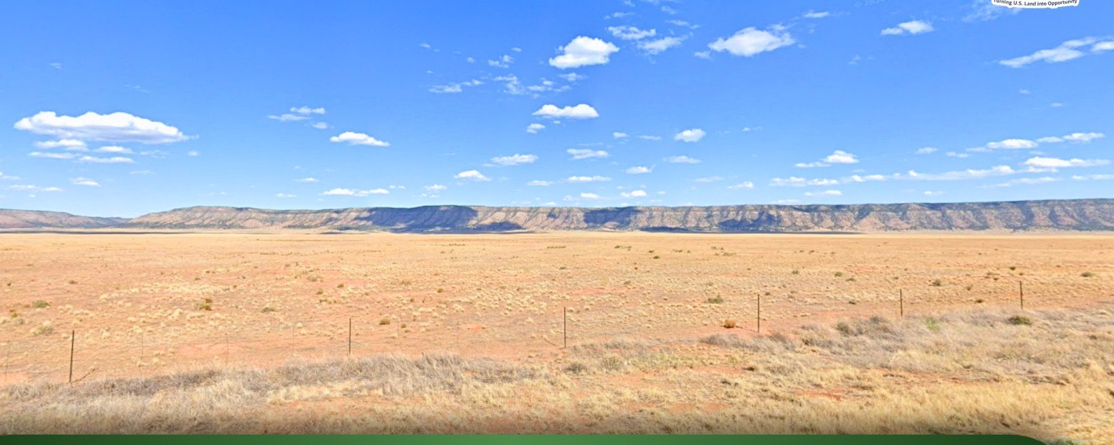
Open the coordinates on the listing in your maps app and switch to the satellite view. The pin is the parcel; the county's parcel map (linked on every listing) shows the exact boundary.
Before you drive
- Check the road note on the listing. "Dirt road" means a passenger car in dry weather; "two-track" means high clearance.
- Download the map for offline use. Most of our parcels have no signal.
- Bring water, a printed copy of the listing, and the phone number on this site.
On the land
Walk the corners. Look for survey pins or stakes; if you do not find them, the county recorder's plat shows where they should be. Note which way the land drains, where the neighbors have built, and how far the nearest power pole is.
Then call us
Tell us what you saw. If something on the listing does not match the ground, we want to know before you reserve, not after.